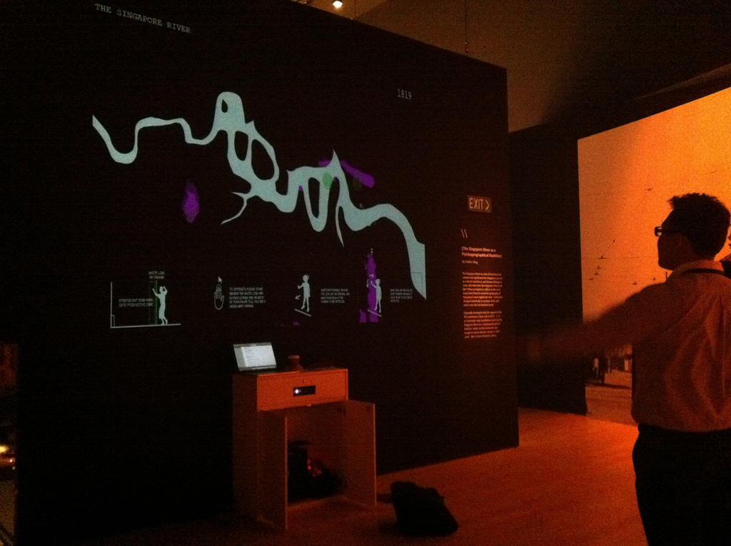
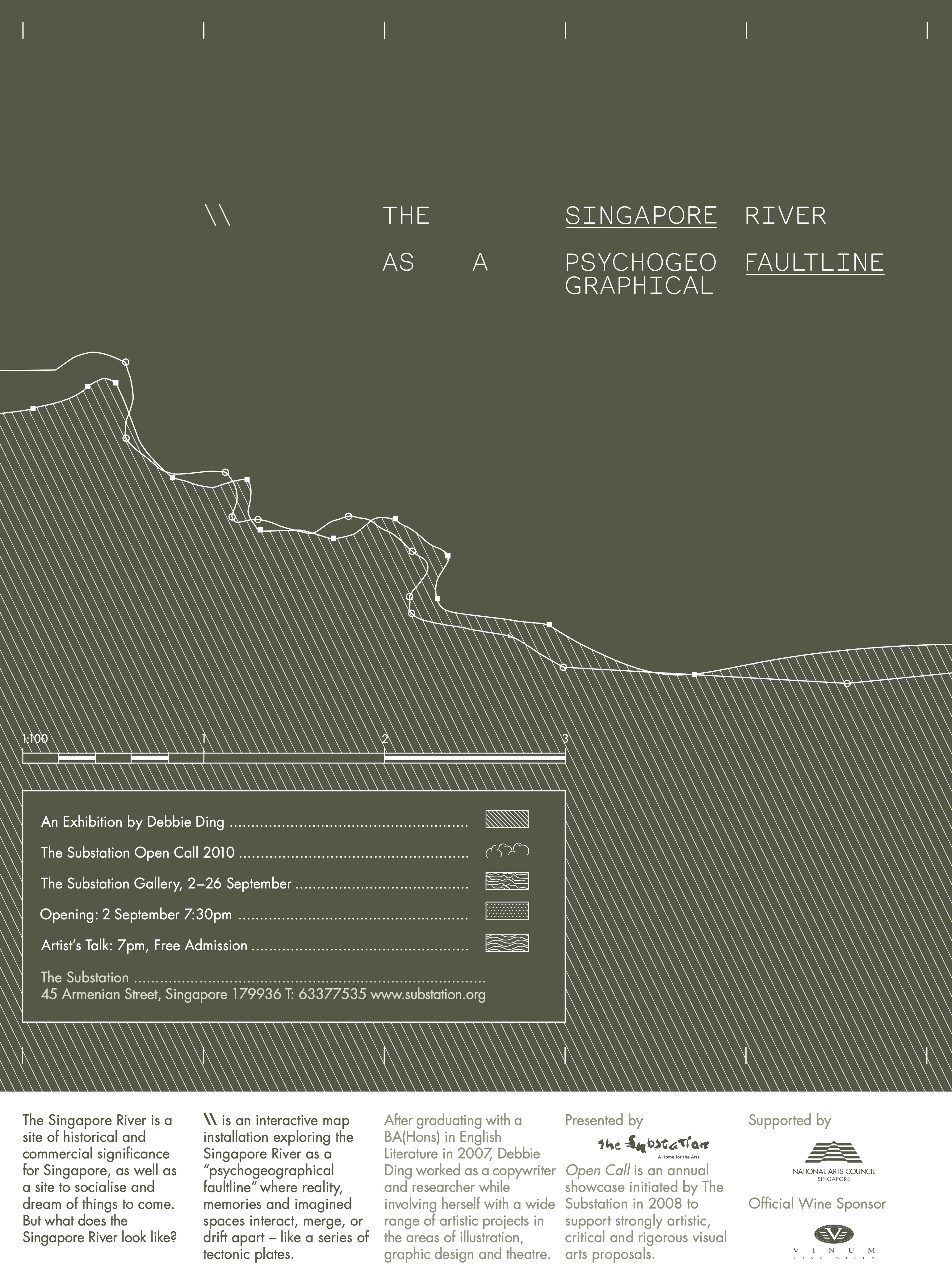
The Singapore River as a Psychogeographical Faultline
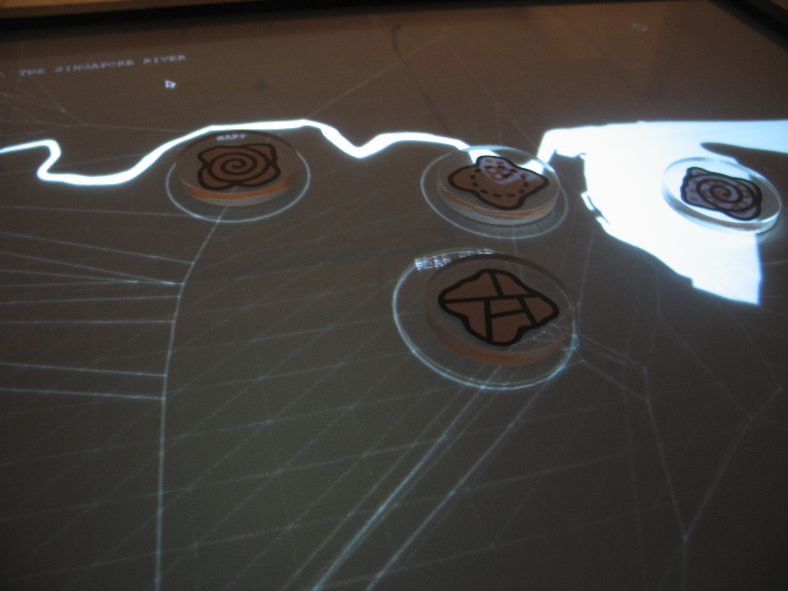
An interactive map installation exploring the Singapore River as a “psychogeographical faultline” - where reality, memories and imagined spaces interact, merge, or drift apart - like a series of tectonic plates.
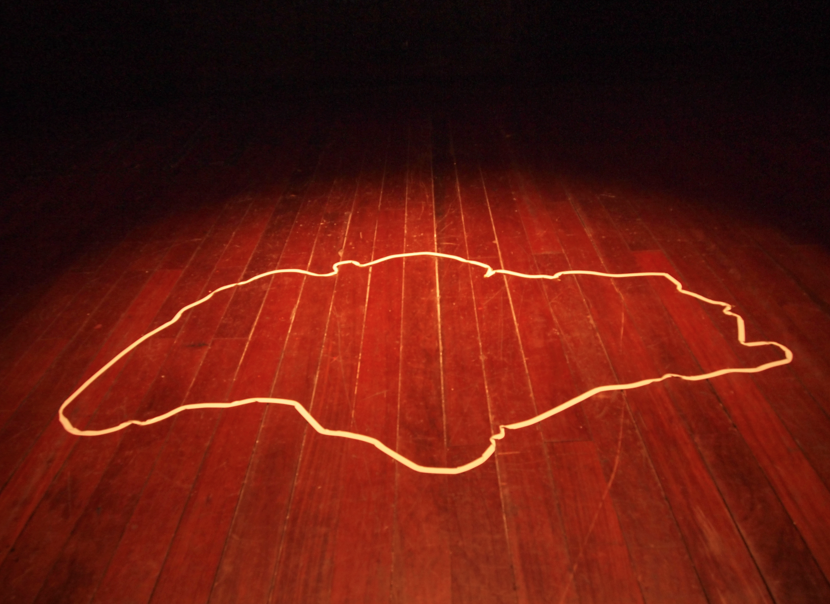
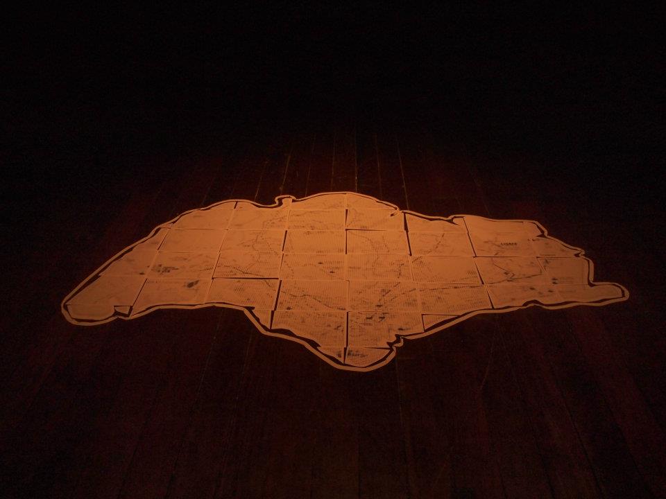
The Singapore River is a site of historical and commercial significance for Singapore, as well as a site to socialise at and dream of things to come. Where urban Singapore is concerned, it is hard to speak of any outstanding natural physical features that remain, besides the Singapore River; the site of Singapore’s genesis.
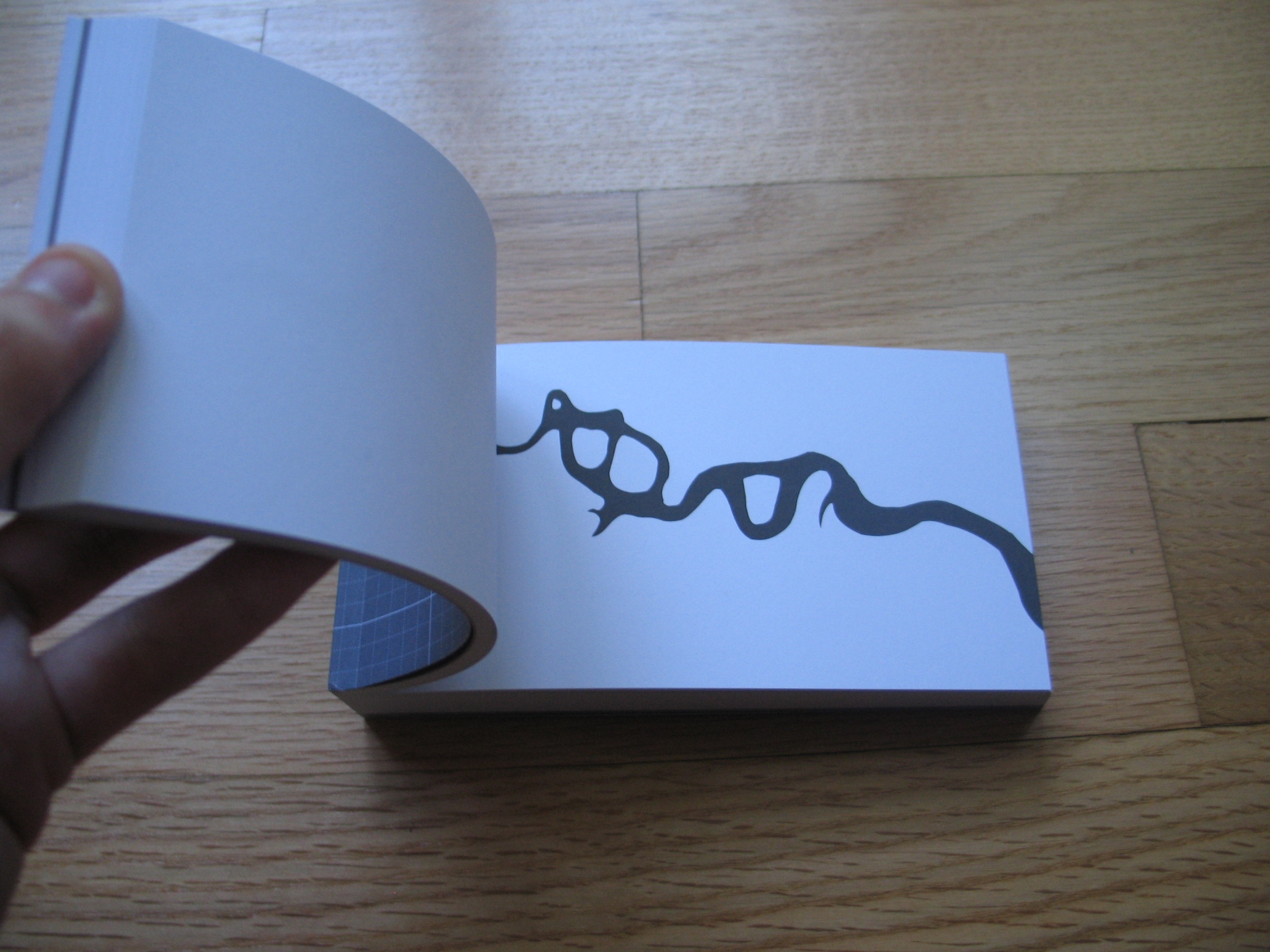
But what does the Singapore River look like? When prompted to reflect on the river, many find it hard to recall the geography of Singapore's most significant river – which has changed drastically in purpose, form, and colour over the last hundred years. Is it easy to overlook the river because it is small? Is it because the Singapore River has a very generic name? Would it be possible to bring it back into public consciousness?
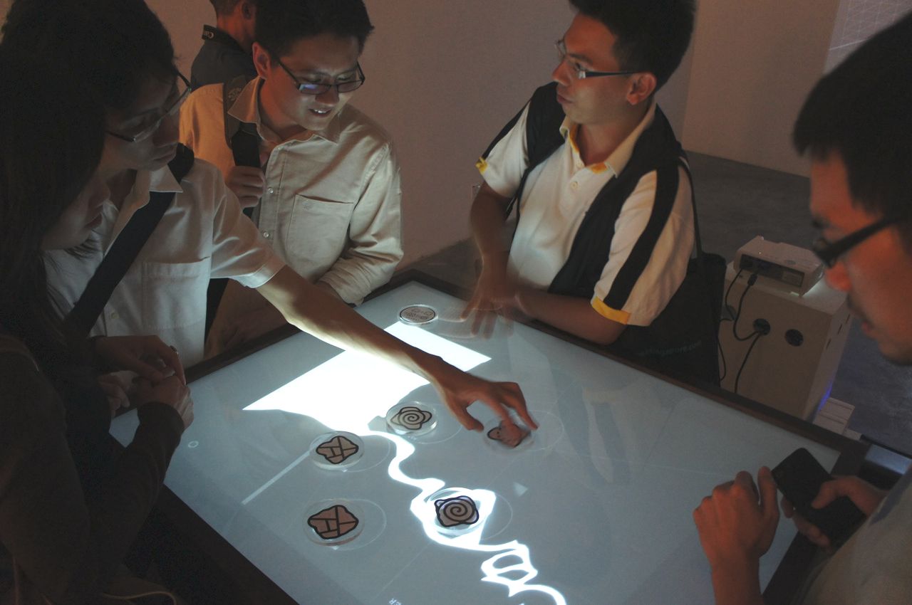
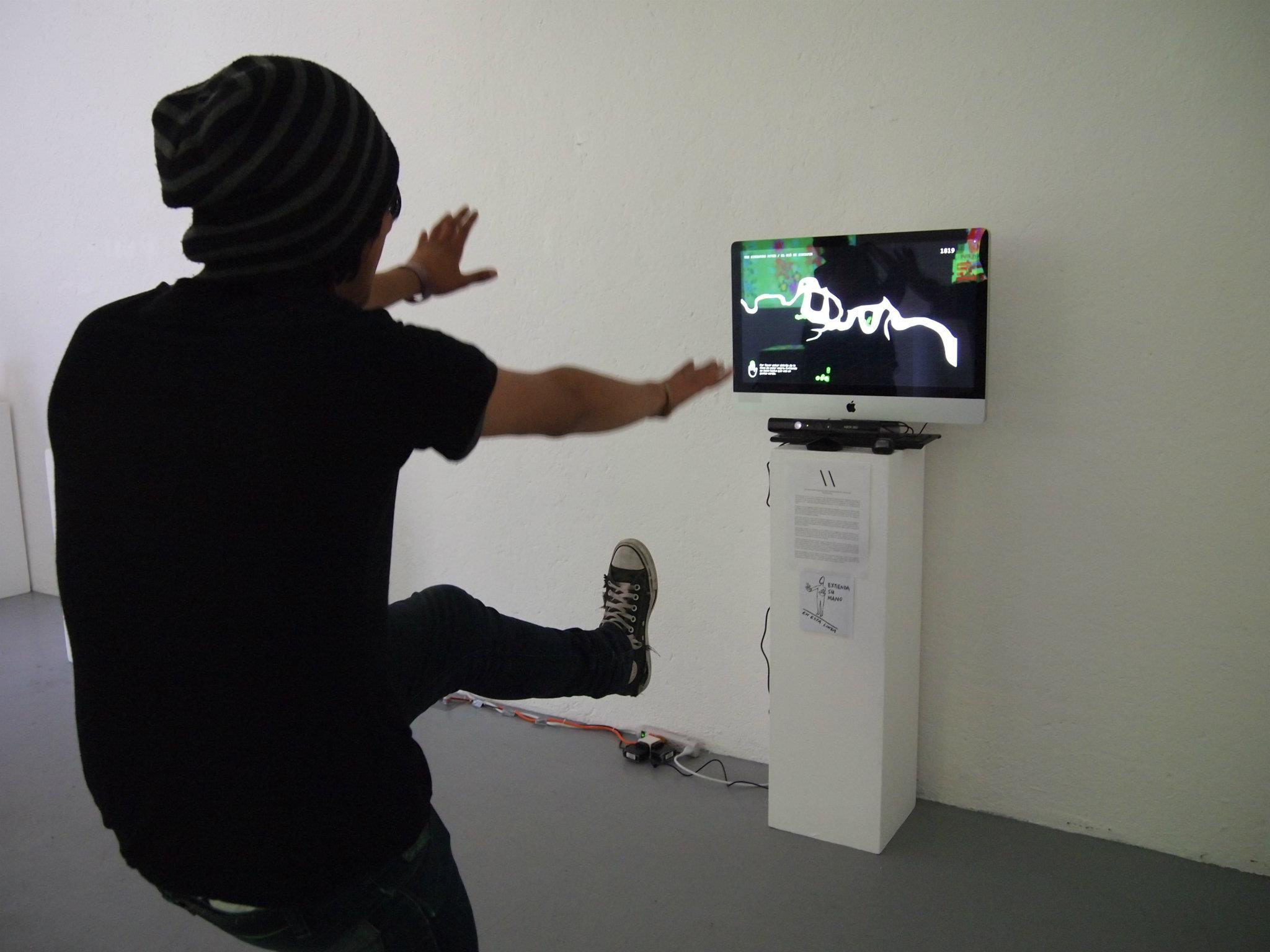
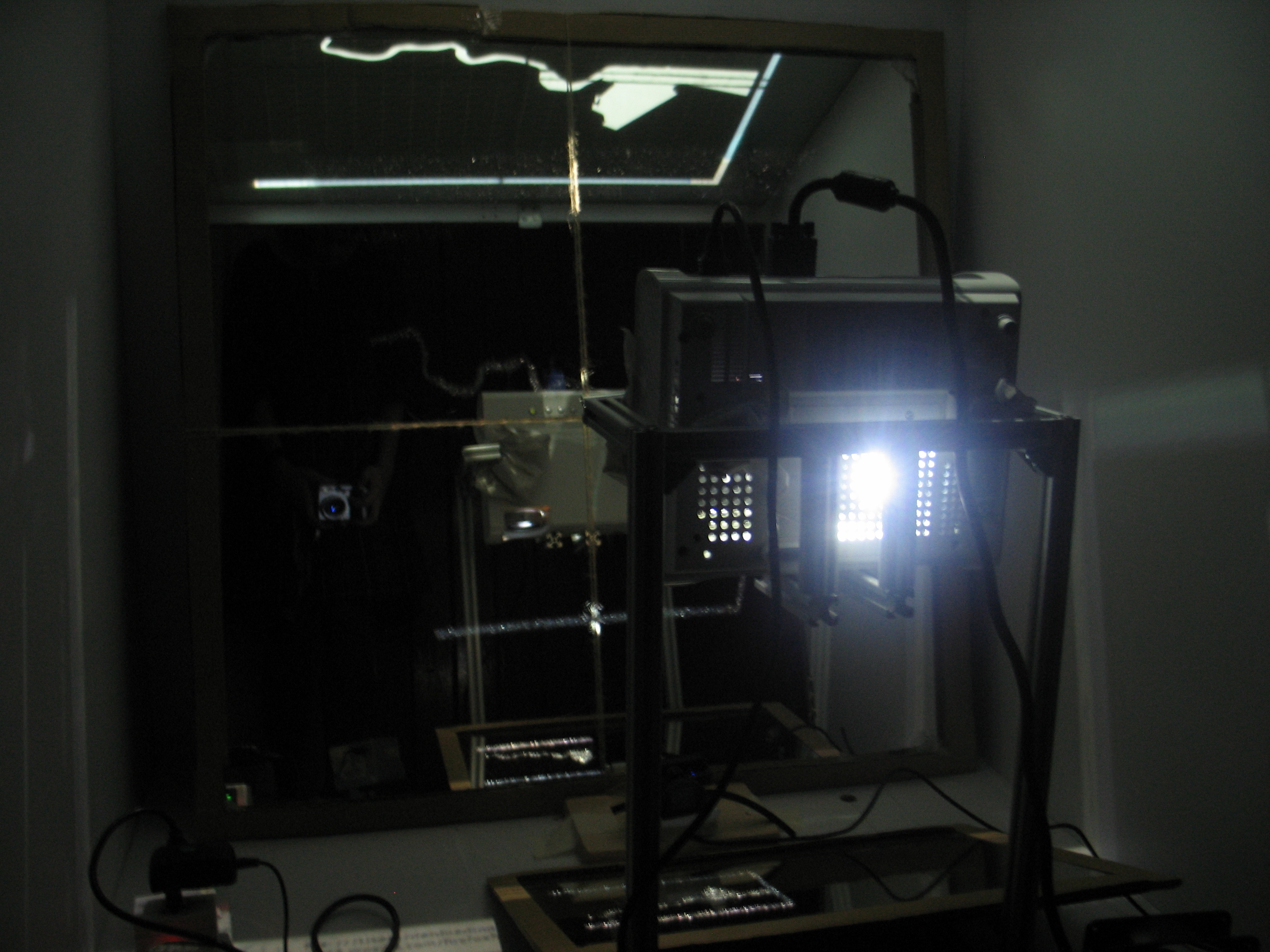
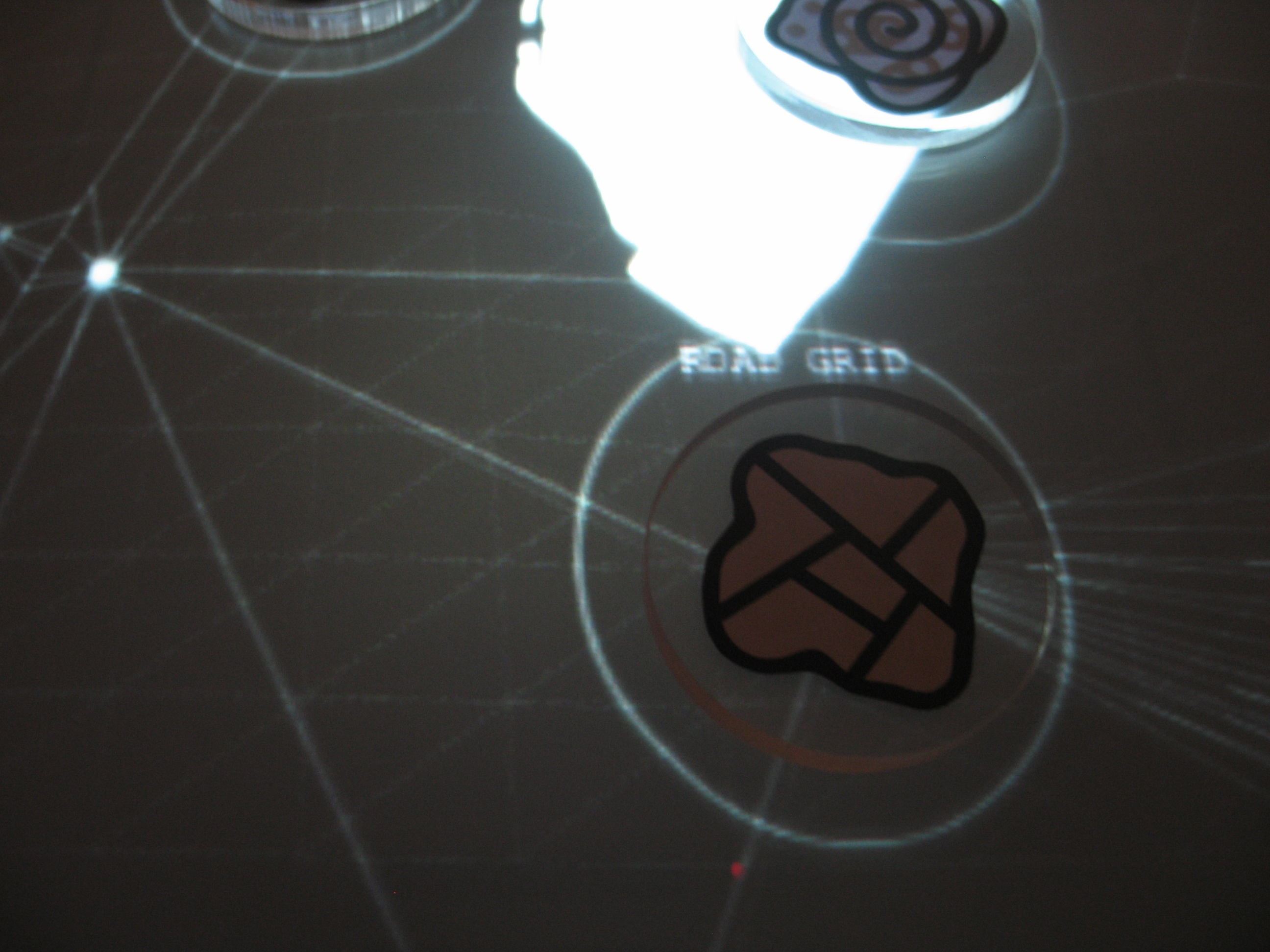
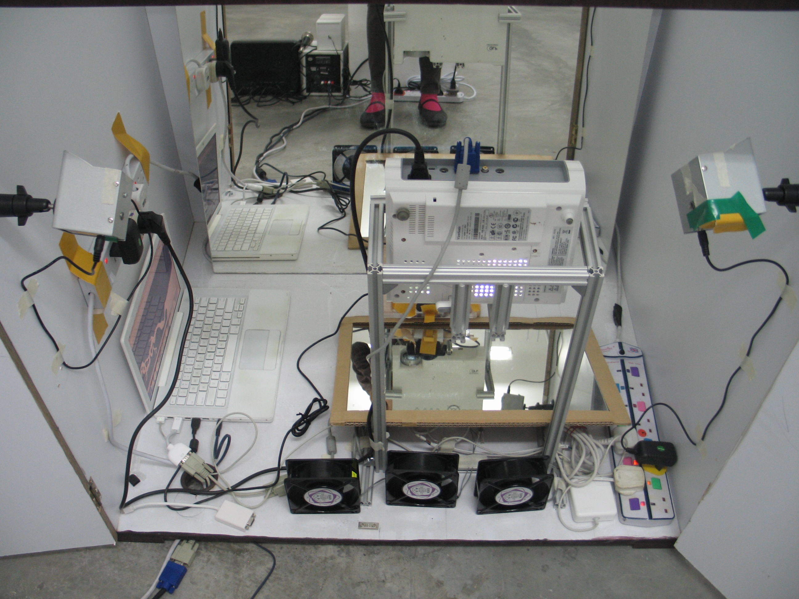
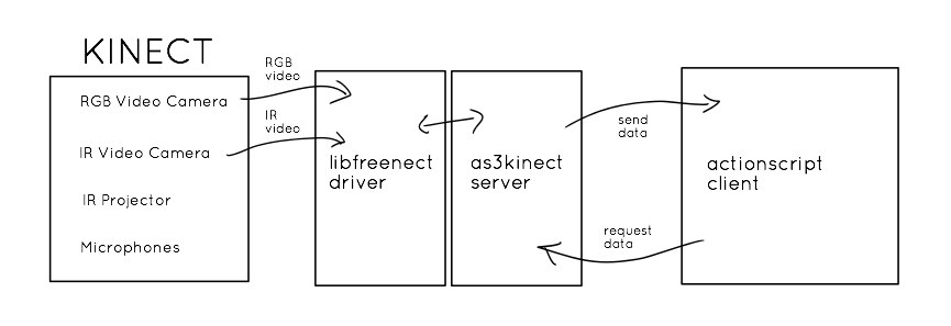
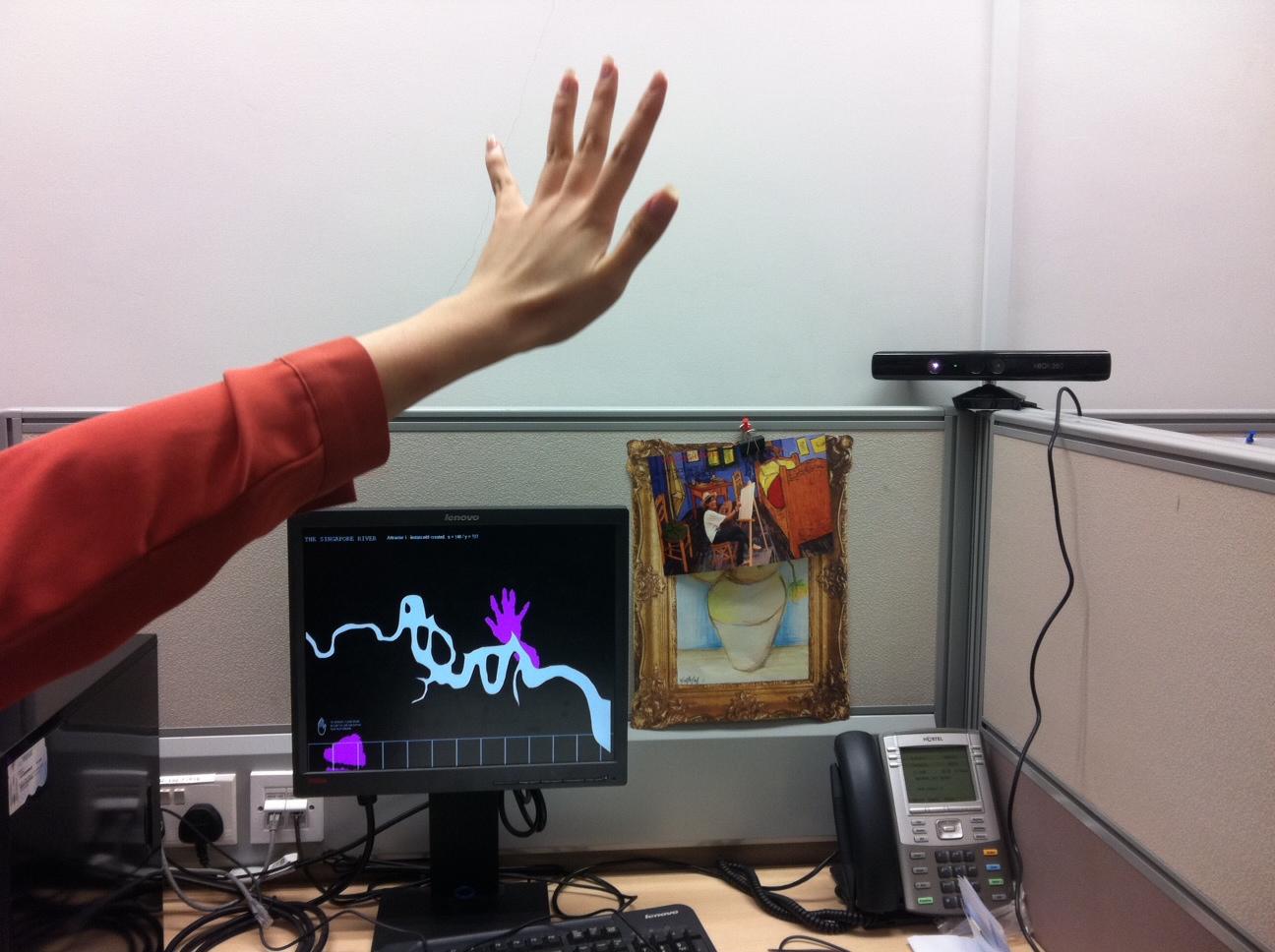
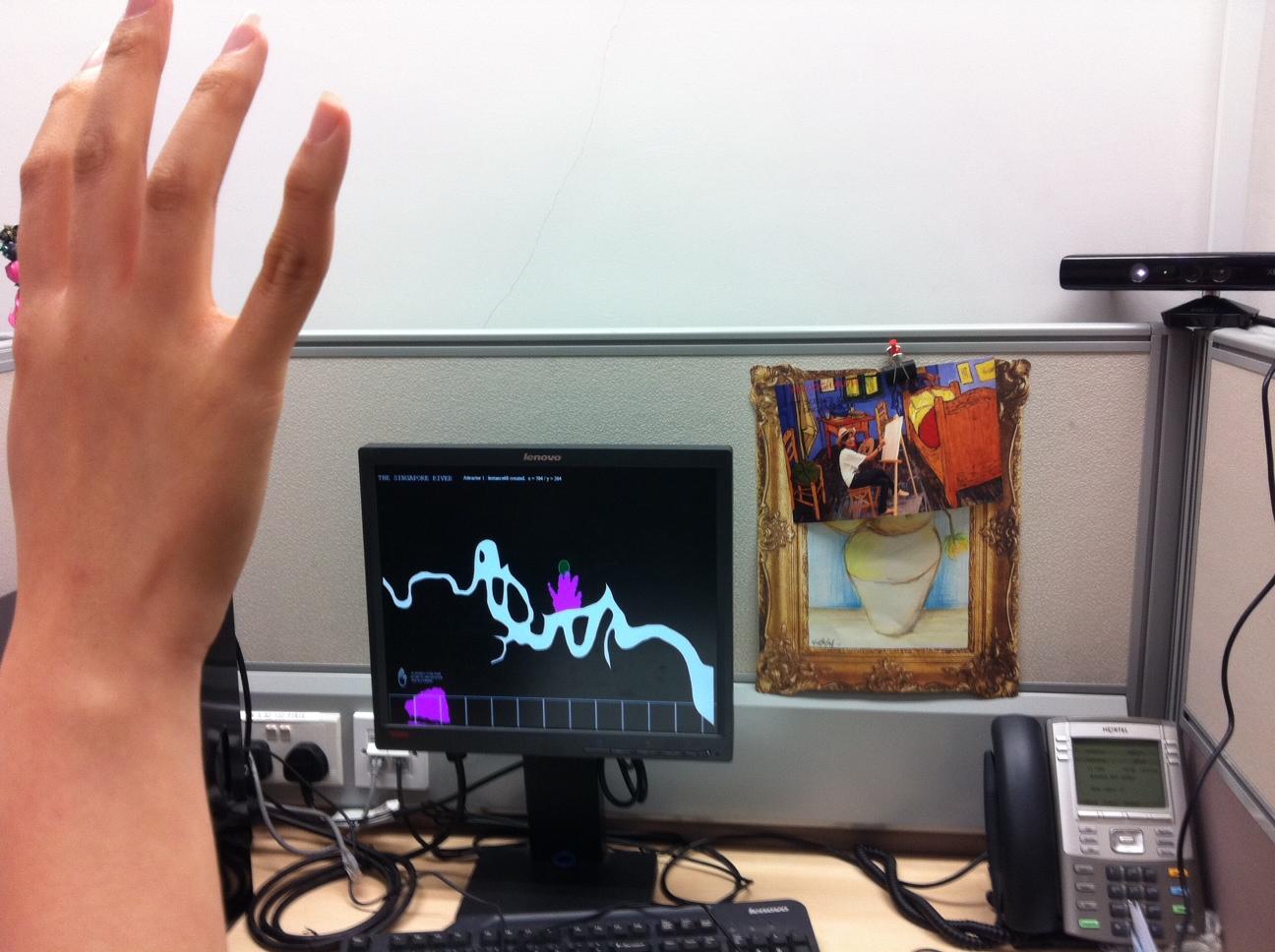
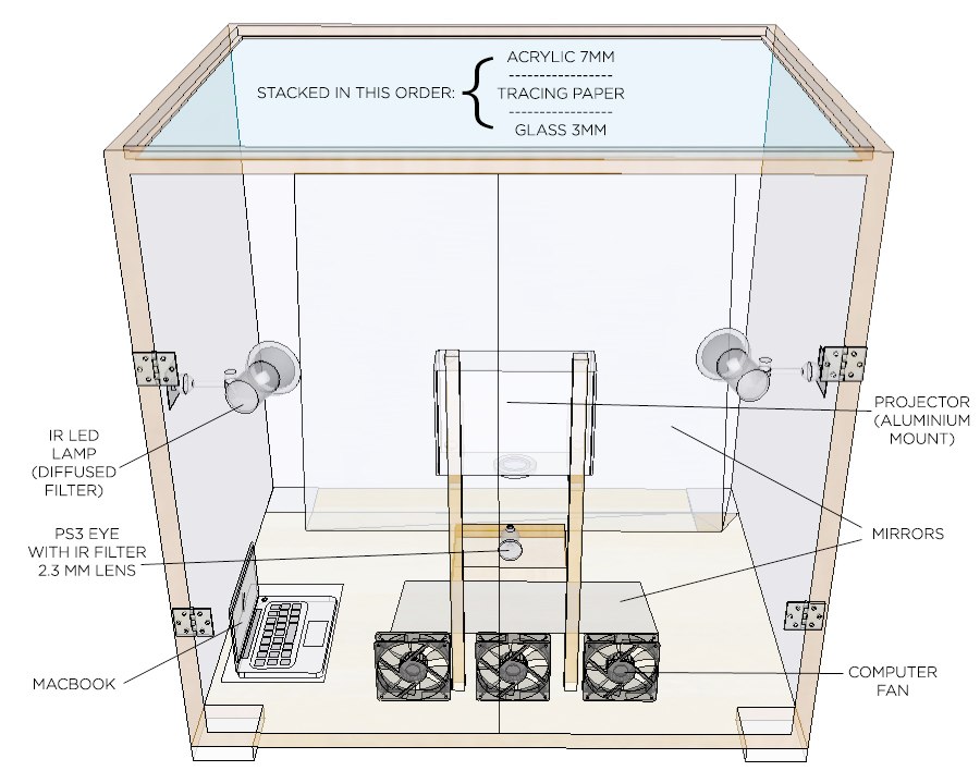
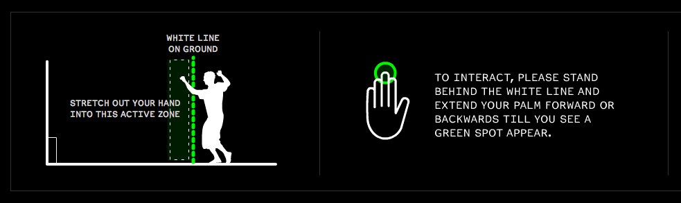
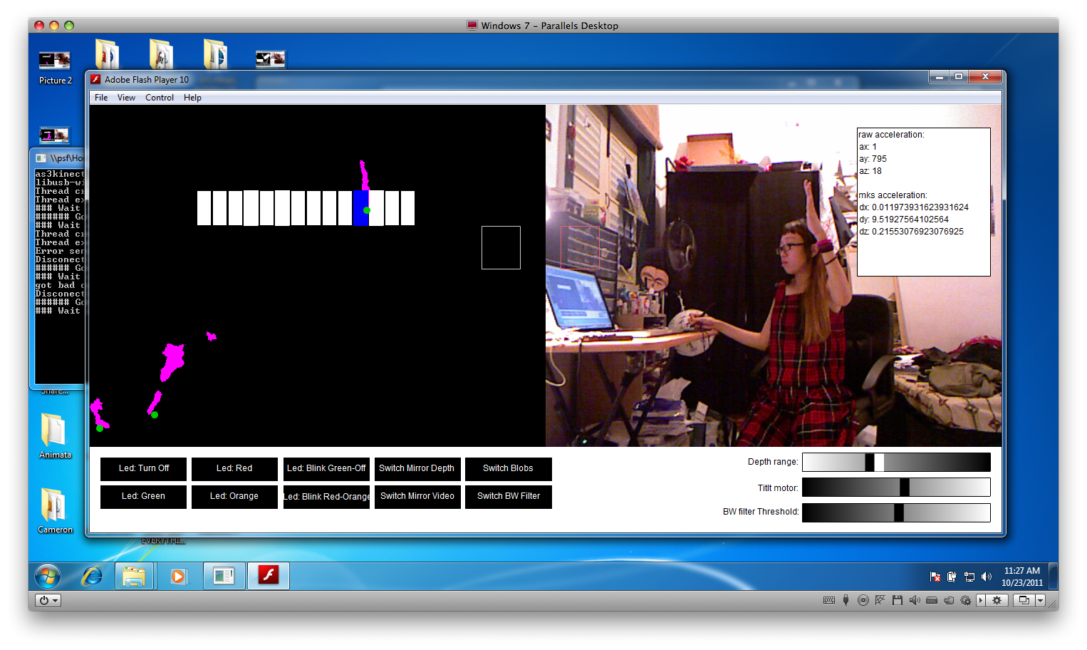
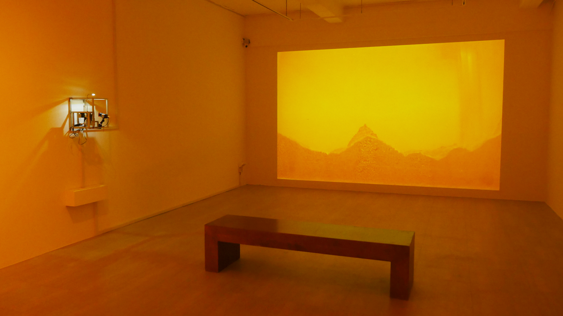
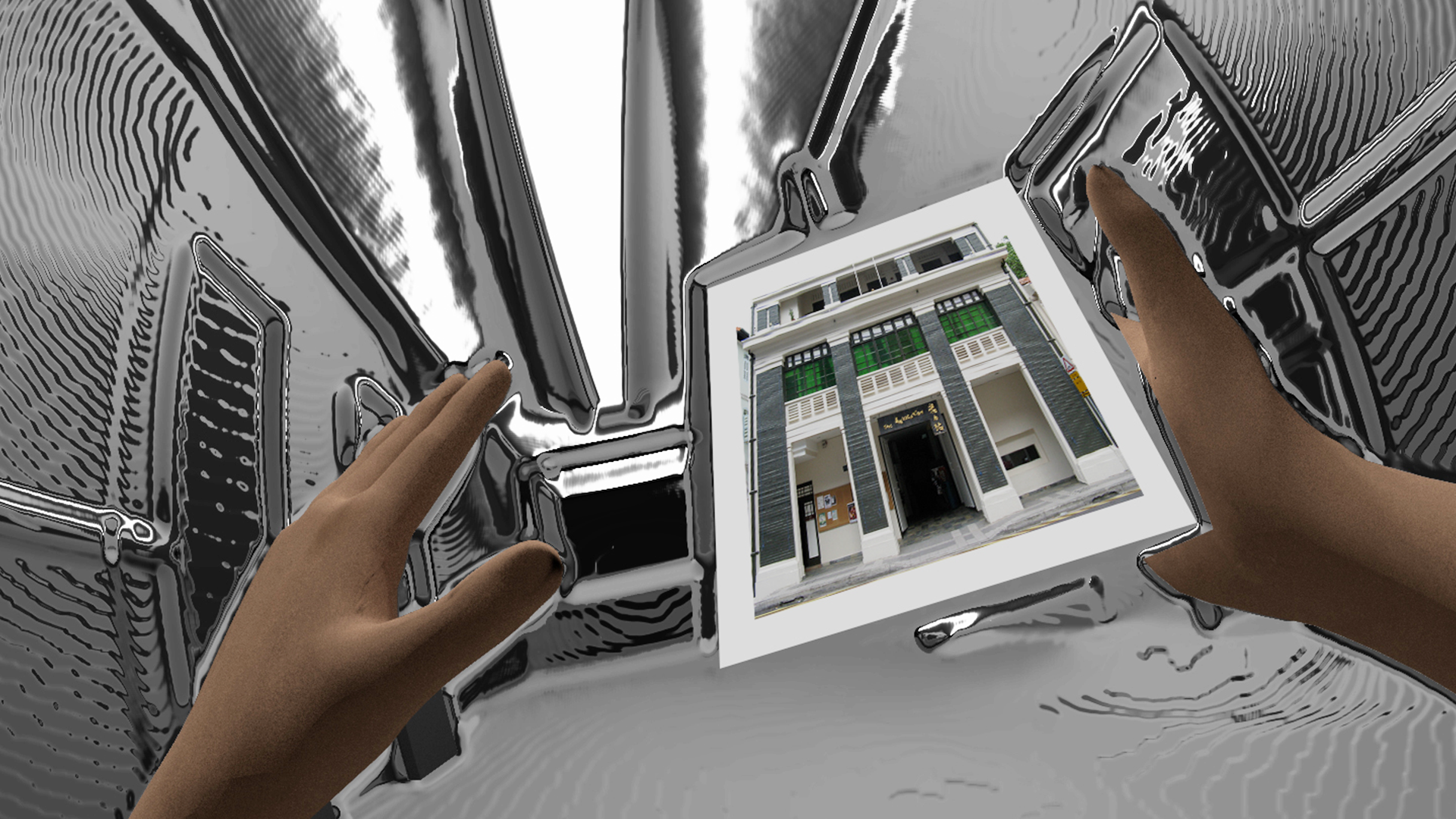
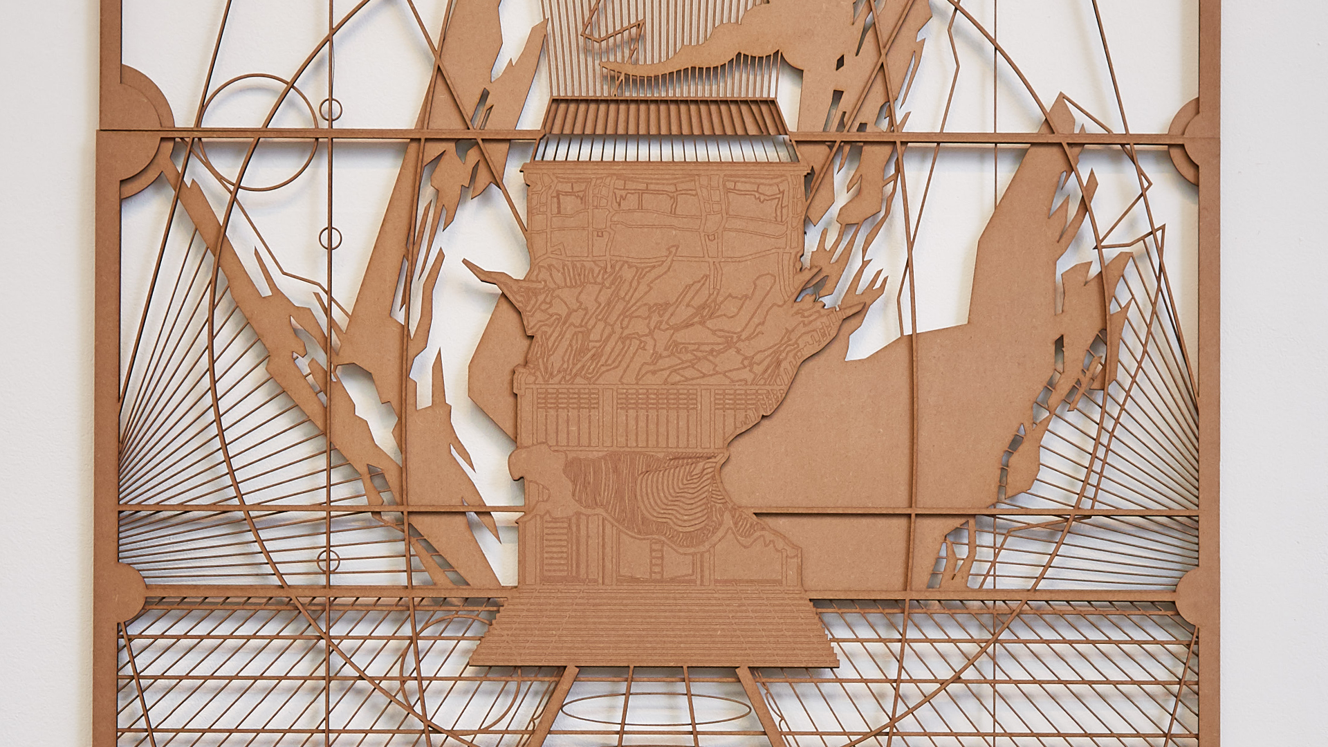
I designed, built and programmed two versions of an interactive installation that allows visitors to explore and speculate on the shape of the Singapore River – a tangible touch table (2010) and a Kinect-based version (2011).
2010
Variable, Interactive Installation
The Substation.
The proposal for this work won The Substation's Visual Arts Open Call and the work was presented with the support of The Substation. With many thanks to Annabelle Aw, Dominic Ho, and Zhuo Hongda.